




What it's like
Misty Fjords National Monument is a nature preserve of granite fjords that were carved by ice. Its walls rise up to 3,000 feet above the sea, and the monument covers 2.1 million acres around Ketchikan. The landscape was shaped by glaciers and still holds icy blue lakes, waterfalls and glacial valleys.
Ketchikan is the jumping off point for the monument. A floatplane flight of about 30 minutes from the waterfront brings you over the country from above, while a boat tour takes you into the fjords at water level. Either way, the cliffs and lakes are the main sight.
Good to know
- Access is by watercraft or air only, so the trip depends on a boat or floatplane.
- Ketchikan is one of the rainiest cities in North America, so bring rain gear.
- Summer rain is usually light and sporadic, with daytime highs in the high sixties.
Misty Fjords National Monument
Misty Fjords National Monument is a wilderness of glacier-carved granite fjords near Ketchikan, reached by floatplane or boat. Icy blue lakes, waterfalls and glacial valleys sit inside its 2.1 million acres.
Tours that go here
Prices are per person, booked with our partner, Shore Excursions Group.

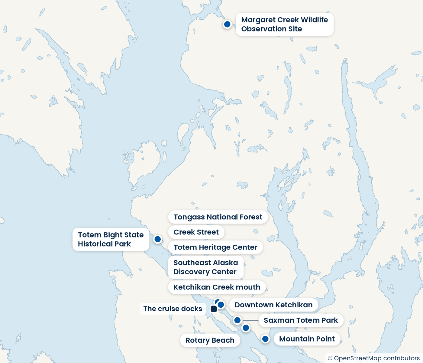
Rotary Beach
Rotary Beach is a sandy and rocky shore about three miles south of downtown Ketchikan, also called Bugge Beach. It is a place for a shore break, a picnic and a look at tide pools.

Tongass National Forest
Tongass National Forest is the large forest that surrounds Ketchikan. Its trails, backcountry roads and waters are open for hiking, cycling, paddling and fishing.

Creek Street
Creek Street is a wooden boardwalk built on stilts above Ketchikan Creek, the most scenic stretch of downtown. Shops, galleries and old brothel buildings line the walk.

Downtown Ketchikan
Downtown Ketchikan is a compact historic district of wooden storefronts, galleries and shops, easy to cover on foot. It is the town's main place to browse on foot.
The same kind of day, elsewhere
Glaciers and fjords

