




What it's like
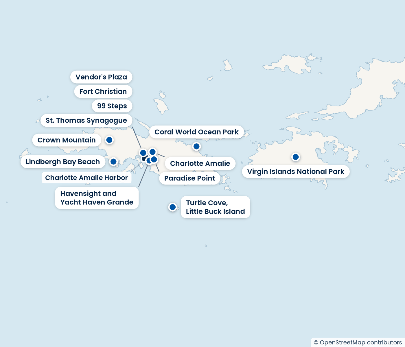
Virgin Islands National Park covers much of St John, across the water from St Thomas. The park interprets the stories of the Taino people, enslaved and free Africans, and local island culture, so the walk carries history as well as scenery.
Once on St John, many trails suit every ability, and ranger-guided programs add context to the walk. The ferry from St Thomas and the trails on St John take most of a day between them.
Good to know
- Longer park trails need a ferry or drive beyond town, which takes most of the day.
- Outside Charlotte Amalie roads are narrow, and local drivers take turns aggressively. Go slowly if you drive.
- Wear comfortable clothes for walking and keep your swimwear for the beach.
Virgin Islands National Park
Most of Virgin Islands National Park lies across the water on St John. Its many hiking trails suit every ability level, and the park runs ranger-guided programs.
Tours that go here
Prices are per person, booked with our partner, Shore Excursions Group.

Vendor's Plaza
Vendor's Plaza is an open-air bazaar near downtown Charlotte Amalie, with tent kiosks selling shirts and souvenirs. Bargaining is the norm here, so you can take your time and haggle.

Paradise Point
Paradise Point is a hilltop overlook above Charlotte Amalie harbor, reached by the Skyride tram from the Havensight area. Visitors go up for the harbor view, a bar and restaurant, and a short walk at the top.

Crown Mountain
Crown Mountain is the highest point on Saint Thomas and in the whole US Virgin Islands. People come up for the views from the top of the island.

Lindbergh Bay Beach
A public beach directly across from the Cyril E. King Airport on St Thomas. Visitors come for the sand and the water, with a park alongside for picnics and play.
The same kind of day, elsewhere
Hiking


